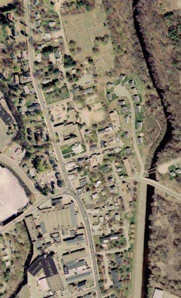
A satellite photo of Saxonville. The black roof at the bottom left is a part of the Saxonville Mills. Edwards Cemetery is the field in the center at the top of the photo.
Click on this photo to see a larger image, 750x1240 pixels, which identifies some of the sites.
| VistaDome Views Home |
| ©2003,2006 John Simakauskas |